
Verified Niles ZIP Coverage
Official sources verified one postal ZIP tied to Niles during the research run. That finding is intentionally narrower than many unofficial lists. A nearby postal city or a shared delivery route is not enough to add another ZIP to a Niles directory. Test the complete address through USPS whenever the exact delivery area matters.
| ZIP | Verified Area | Post Office | Niles Research Note |
|---|---|---|---|
| 60714 | Niles, Illinois | Niles Post Office, 6977 W Oakton Street | Official local anchor; verify each street and unit through USPS |
| Additional ZIPs | Not verified from an official source | None added | Postal and municipal boundaries may not align |
The Niles Post Office lists 847-967-1989. Published retail hours are Monday through Friday from 8:30 a.m. to 5:30 p.m., Saturday from 8:30 a.m. to 3 p.m., and Sunday closed. Hours can change, so the postal location page should be checked before a visit. The ZIP code directory uses the station as proof of the postal relationship, not as proof that every 60714 delivery point sits inside the Village.
Niles USPS Search Fields
The USPS ZIP Code Lookup has three modes. Address mode is best for a parcel or household because it tests the full delivery line. City-and-state mode returns postal ZIP information for a named postal city. ZIP mode reverses the question and reports the place tied to a supplied code. None verifies a person or company.
| Field | Mode | Required | Use in Niles |
|---|---|---|---|
| Street Address | Address | Yes | Enter the delivery street and number. |
| Company | Address | No | Use only when part of the postal address. |
| Apt/Suite/Other | Address | No | Add the unit to avoid a broad result. |
| City and State | Address or city/state | As the form requires | Test Niles, Illinois without inferring Village jurisdiction. |
| ZIP | Address or ZIP | Required in ZIP mode | Reverse-check 60714. |
A returned ZIP answers a mail question. Copy the result exactly, including any unit and ZIP+4, then move to parcel evidence for government boundaries. Note: USPS mailing geography does not establish residence, ownership, voting status, or municipal jurisdiction.
Search Niles by ZIP Code
Finding a resident within one Niles ZIP requires several narrow checks, not a ZIP-wide people list. The Assessor accepts a complete property address or PIN, while its neighborhood search uses township and neighborhood rather than ZIP. The state voter form uses a five-digit ZIP only as one required value for an individual query. GIS works from parcel geometry and map layers.
- Verify the complete mailing address with USPS. Save the postal city, ZIP, ZIP+4, and unit exactly as returned.
- Search the Cook County Assessor by house number, street name, and city. Record the PIN, situs, owner, and taxpayer mailing fields without assuming they are identical.
- Open CookViewer or the Village GIS map and confirm where the parcel falls against streets and government boundaries.
- Use a source-specific record only for its stated purpose. A person checking a supplied voter record must enter first name, last name, birth date, and five-digit ZIP.
Once the search narrows to a named road, the Niles street directory handles the address and parcel chain in depth. A ZIP alone is too broad for that work.
Niles ZIP and Parcel Geography
Cook County’s property system distinguishes a situs address, where the parcel is located, from the taxpayer mailing address. It also assigns a 14-digit property index number. These fields can point to different places. Add the USPS postal address as a fourth line in a research worksheet, alongside situs, owner mailing, and legal description.
The Assessor’s Niles Township valuation page supplies township context for the parcel side of the comparison.
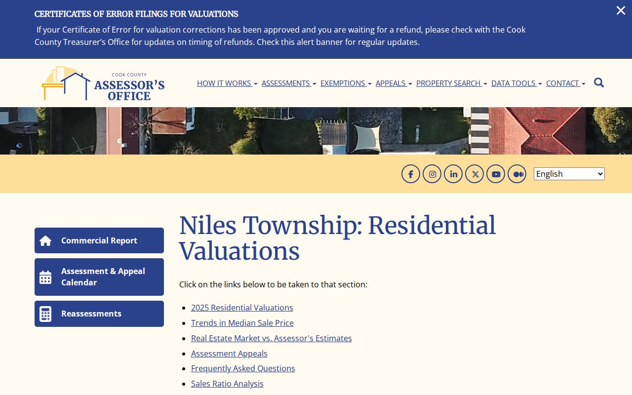
The township label is an assessment geography. It should not be substituted for a USPS ZIP or the Village boundary.
Niles ZIP Versus Village Lines
A ZIP is built for delivering mail. A Village line defines local jurisdiction, and a parcel polygon defines one tax lot. Those three systems often meet, but they are not the same layer. The research did not locate an official ZIP-boundary shapefile, a split or realignment year, an exhaustive list of 60714 points outside Niles, or an official second ZIP serving a Village address. The safe answer is to verify each address, not sketch a boundary from an unofficial map.
- ZIP and ZIP+4
- A five-digit delivery area and its four-digit segment for a smaller delivery group.
- PO-box ZIP
- A code assigned mainly to post-office boxes rather than normal street delivery.
- Unique ZIP
- A code assigned to one high-volume organization or institution.
- Carrier route
- The delivery path used by a postal carrier, which can cross other civic lines.
The Village provides street, zoning, neighborhood, and other static maps. CookViewer adds county parcel layers. Neither source turns a postal code into a resident roster. Use them to answer where a parcel lies and which public office holds its records.
Boundary rule. A Niles mailing label may be valid even when the parcel’s municipal status requires a separate GIS check.
Niles GIS During 2026
The Village reported a 2026 transition from its Atlas system to a new GIS Viewer under development. That change makes the static map catalog an important fallback. The Niles Maps page links street, zoning, neighborhood, tax-increment, garbage, and survey-control maps, while CookViewer remains the county parcel source.
Village GIS staff can also supply standard map products. Native ESRI data or a record not posted online can be requested through Niles NextRequest under FOIA. The Village’s additional GIS information explains output formats, standard sizes, nominal-fee language, data limits, and restrictions tied to commercial-purpose requests.
The captured additional GIS information page documents those formats and limits.
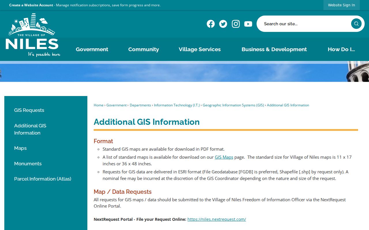
Keep a PDF map in the workflow while the live viewer changes, then confirm the parcel in the county system.
Niles Names Before ZIP Codes
Historical people searches need different geography. A local telephone-directory tradition reaches back to 1909, when the area was known as Niles Center. A 1968 Chamber directory and a 1994 St. Hedwig alumni directory also predate current database habits. Federal census addresses belong to enumeration geography, not USPS delivery zones. Newspapers may use Niles Center, Niles, Skokie, or a township name for the broader area.
The Village history helps place those older names before a modern ZIP is added.
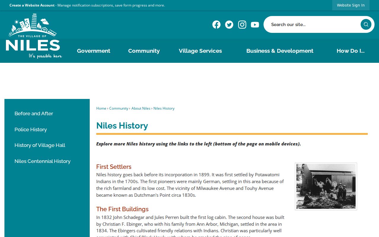
Preserve the wording found in the old source. Add 60714 only as a modern cross-reference after the original street, institution, or township has been identified.
Niles ZIP Map Landmarks
The official Niles Street Map gives a better way to orient a doubtful old address than a guessed postal boundary. Milwaukee Avenue, Touhy Avenue, Oakton Street, Dempster Street, and Golf Road form strong reference lines. Parks and cemeteries also provide stable place names when a clipping or family paper omits a full street number. Compare those features with the current parcel layer before assigning modern geography.
Named areas such as Chesterfield Gardens and Grennan Heights appear in Village community material, but a neighborhood name is not a ZIP. The official neighborhood map can place the name within the local street network. It does not publish member names or prove that all addresses in the named area share the same postal treatment.
Census QuickFacts adds broad Niles context: an estimated population of 30,443 across 5.85 square miles, with 5,285.9 people per square mile. Those Village-wide figures describe municipal geography. They are not 60714 population totals, and they must not be presented as per-ZIP statistics. No official ZIP-level population or registration table was located in the research.
Niles Voter ZIP Limits
The Illinois voter lookup asks for first name, last name, date of birth, and five-digit ZIP. It is an individual verification tool, not a search of everyone in 60714. A result does not expose ballot choices or prove who else occupies an address. Illinois law limits public voter-file fields, copying, and use under 10 ILCS 5/1A-25, and protected participants are excluded or handled through special rules.
Use the mailing ZIP supplied by the voter. Do not infer it from the Village map. Eligible political or National Voter Registration Act requesters have a separate statutory file process with fees and restrictions; that process is not a public ZIP code directory.
A failed voter match may reflect a name, birth date, or ZIP mismatch, a registration change, or a protected record. It does not prove that the person is absent from Niles. Confirm the values with the person or the election authority instead of trying nearby ZIP codes until a result appears.
A Reliable Niles ZIP Check
Record provenance matters more than a neat map. For each Niles address, save the source, access date, exact postal wording, unit, ZIP+4, parcel PIN, situs, owner mailing field, and legal description. Flag any mismatch rather than correcting it silently.
- Use USPS for the delivery code and postal city.
- Use the Assessor for parcel and taxpayer fields.
- Use CookViewer or Village maps for mapped boundaries.
- Use the voter ZIP only within a supplied individual query.
- Keep historical place names exactly as printed in the source.
The Niles ZIP code directory cannot turn a postal area into a list of people. It can keep each geography in the right role, which prevents a mailing label from being mistaken for ownership, residency, or Village jurisdiction.