
Niles Neighbor Records by Block
Different sources answer different block questions. Parcel maps show land units. The Assessor links each unit to a taxpayer record. Deeds document transfers, while permits date work. The official neighborhood program supplies civic contacts, not household members. Use the source that fits the question and preserve its access limits.
| Source | Block evidence | Public route |
|---|---|---|
| CookViewer | Parcel shapes, nearby parcels, county layers | Free county viewer |
| Cook County Assessor | PIN, situs address, taxpayer and mailing address | Free address or range search; CAPTCHA |
| Niles GIS and PDF maps | Streets, zoning, named neighborhoods, parks and routes | Free maps; native data by request |
| Niles permits | Addressed work, owner, applicant, contractor and dates | Portal, paper/email, or FOIA |
| Neighborhood Police Program | Named-area officers and civic connections | Public program page; no member roster |
An Assessor result proves that a taxpayer name is tied to a parcel record on a date. It does not list all Niles neighbors at that address. The owner may be a trust or company, and the mailing address may be elsewhere. A matching situs and mailing address can support an owner-occupancy inference, but it is still not a household roster.
Map Niles Neighbors First
Open CookViewer, browse to Niles, and zoom to the known address. Select the subject parcel, copy its PIN and situs address, then click each parcel that touches or faces it. Follow any property link into the Assessor. The Village's official maps catalog adds street, zoning, neighborhood, TIF, garbage-route, and survey-control context.
The Village moved from Atlas tools to a GIS Viewer that was still under development in 2026. Keep static PDF maps in the workflow when an interactive layer will not load. The unattended research did not verify a buffer or neighbor-select control, so use individual parcel clicks rather than claiming an automated radius list.
Note: Standard Niles maps are free, while native ESRI data goes through the Village request or FOIA channel.
Walk the Niles Parcel Ring
Once the map is centered, move one ring around the subject parcel. This keeps the neighbor lookup focused on the immediate block rather than rebuilding an entire street. Record public land facts first, then decide whether any later source is needed.
- Locate the subject address in CookViewer and confirm the parcel outline.
- Click adjacent and facing parcels. Copy each PIN and situs address.
- Use the Assessor address search for the taxpayer spelling and mailing clue.
- Mark trusts or entities as owners, not as residents. Keep units separate.
- For every parcel on the named road, use the Niles street directory workflow.
The Assessor address form allows a starting and ending house number, direction, unit, street name without suffix, and city. A range can locate parcels efficiently, but each result still needs individual review. A homestead or exemption flag may support an occupancy clue; it does not identify every person inside.
See Niles Neighborhood Geography
The Niles Neighborhood Police Officer Program names Chesterfield Gardens and Grennan Heights and links those places to Village departments, the library, schools, and park district.
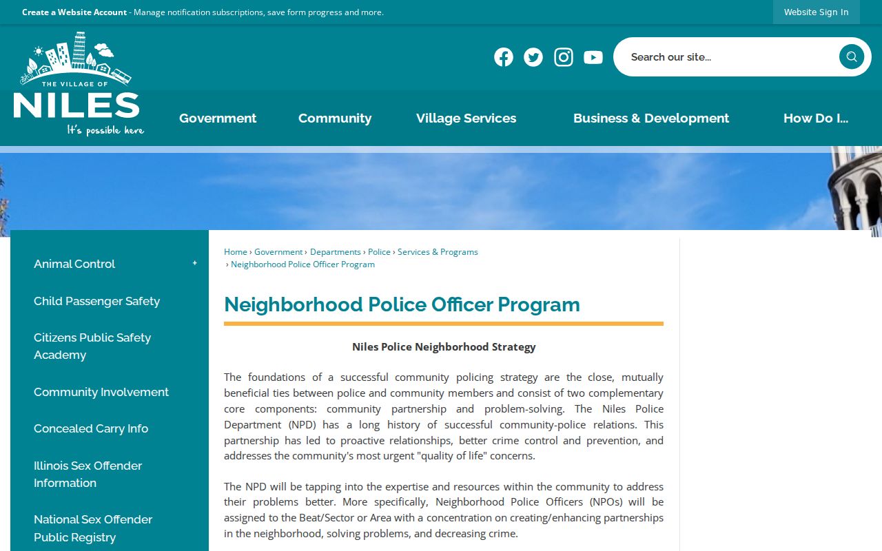
The program offers a public civic connection. It is not a directory of Niles neighbors and does not publish household membership.
The Village's official neighborhood map route supplies named-area context for nearby parcels.
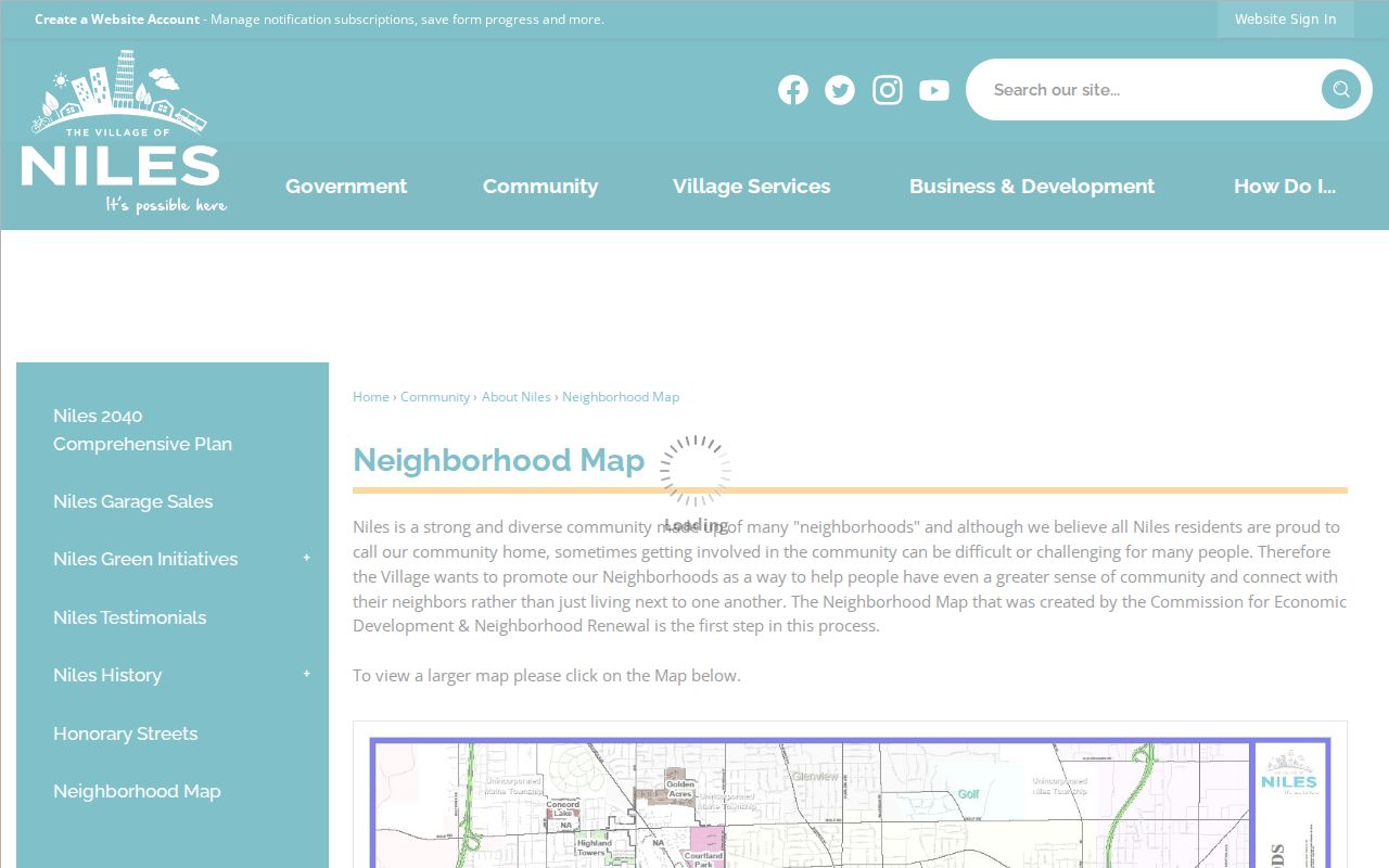
Use a neighborhood name to orient a block, then return to parcels for ownership evidence. No verified public Niles HOA umbrella directory was found.
Niles Neighbors and Civic Contacts
Niles has mapped neighborhoods and public community programs, but research found no official association or HOA member directory. Do not infer an organization from a subdivision name. Ask the Village, library, or the named Neighborhood Police program for public meeting and contact information if a specific group is known.
Neighborhood Police Program
Public contact for Chesterfield Gardens and Grennan Heights, with links to civic partners.
Village GIS
Standard maps and a request route for native mapping data or special formats.
Library newspapers, yearbooks, the Historical Society, and cemetery records can add community memory. Those dated sources may connect a person to a school, parish, park, or event, but affiliation must not be turned into a current-address claim.
Voter Privacy for Niles Blocks
Illinois uses an individual registration lookup. The documented fields are first name, last name, birth date, and five-digit ZIP. It is not a street-browse tool and cannot produce a Niles neighbor roster. Ballot choices are secret, and a registration match does not prove that every person at an address lives there now.
10 ILCS 5/1A-25 controls inspection and file access. It permits redaction of phone numbers, Social Security numbers, street numbers, dates of birth, identifiable email, and sensitive data, while limiting copying and use. Address Confidentiality Program participants receive protected handling.
Official Niles Neighbor Evidence
Commercial neighbor tools may merge names from stale or unclear sources. Official records carry a custodian, a record purpose, and a date, although even official rolls have limits. Use the comparison to decide what a claim can safely mean.
| Question | Official source | Commercial category |
|---|---|---|
| Which parcel is next door? | CookViewer geometry | May use an unstated map feed |
| Who is the taxpayer? | Dated Assessor parcel card | May blend old owner names |
| Who lives there? | No complete official household roll | May imply more certainty than sources allow |
For Niles neighbors, a small set of cited official facts is more useful than a long list whose age and source cannot be checked.
Niles Blocks Through Permit Records
A permit adds a dated physical event to a block search. The Village of Niles application records the project address, type and cost of work, owner and applicant contacts, contractor business, trade or license details, signatures, and dates. Permit categories range from additions, roofs, decks, and garages to driveways, fences, signs, plumbing, electrical work, and demolition. These fields can explain why a parcel changed shape or why construction appears in a newspaper notice.
Begin with the Village permit page and Citizen Self-Service. An account may be needed to see live status, and the research did not confirm a complete public index of older permits. Community Development also accepts paper and email routes. For a historical record, give the exact address, a reasonable date range, and the permit type. Ask for existing applications, inspection entries, and final records rather than requesting a new account of what happened.
Owner, applicant, and contractor describe roles in a project. None is automatically an occupant or a Niles neighbor. Compare the permit date with the Assessor card and mapped parcel before joining it to another name.
Community Memory Around Niles Neighbors
Current parcel tools are strongest on boundaries and owners. Older community collections answer a different question: how people and institutions were connected to a Niles block at a specific time. The Niles-Maine District Library provides local newspapers, yearbooks, genealogy databases, and a dated shelf inventory. The Niles Historical Society offers remote inquiries, special appointments, microfilm, and local reference material. A notice may name a school, parish, park, club, street, or neighborhood even when it gives no house number.
Place words are often better anchors than surnames. The official Niles Street Map identifies Milwaukee, Touhy, Oakton, Dempster, and Golf corridors along with parks and cemeteries. St. Adalbert Cemetery, established in 1872, has an official planograph and a loved-one locator subject to a personal-use agreement. Chesterfield Gardens and Grennan Heights appear in the Village Neighborhood Police program. Preserve the exact place name and date from the source, then compare it with the official Niles neighborhood map.
This layer can show shared community context, not a private membership list. Research found no verified public Niles HOA or association-member directory. That absence matters. A mapped neighborhood boundary does not authorize assumptions about who belongs to a group or who presently lives within it.
Protect Niles Neighbors' Privacy
Parcel records do not list every renter, child, relative, or guest. Utility accounts and delivery data are not public resident sources. Sealed or juvenile cases, restricted vital records, and protected ACP addresses may be absent by law. A missing name is not proof that no one lives at the address.
The best neighbor lookup records only what is needed: a parcel boundary, a public owner entry, a named neighborhood, or an official civic contact. Do not republish sensitive personal data. Correct an Assessor, deed, or map error through the custodian that maintains that source.
Lawful use. Look up Niles neighbors for civic curiosity, reconnection, or personal safety awareness. Never use public records to watch, intimidate, stalk, harass, or harm anyone.